CivilAirspace
Research Data Collection Use Case
Scenario Overview
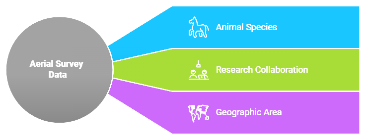
A university research team uses their CivilScout account to request aerial survey data to study animal species distribution in a specific geographic area. This case demonstrates how CivilAirspace facilitates collaboration between CivilScouts, airspace owners, and drone operators.

Workflow
1. Research Request Submission
The university research team, through their CivilScout interface:
- Specifies geographic boundaries of the study area.
- Defines required flight altitudes.
- Sets data collection frequency (e.g., daily, weekly).
- Details image/sensor requirements (e.g., thermal imaging, LiDAR).
- Outlines project timeline.
- Provides research budget parameters.
2. Network Response
The CivilAirspace network automatically:
- Identifies relevant airspace zones.
- Locates participating airspace owners.
- Calculates optimal flight paths for drones.
- Estimates data collection costs based on project parameters.
- Generates default licensing terms for data usage.
3. Airspace Owner Association
Airspace owners receive automated notifications when their airspace is requested for research operations:
- Owners can temporarily associate their airspace with the project using ad-hoc agreements.
- Default terms are presented to all parties involved (airspace owners, drone operators, CivilScouts).
- Owners can modify or accept terms directly through the app.
- Smart contracts manage group consensus and finalize agreements.
4. Service Agreement
The Service Agreement outlines the terms for all parties involved:
- Access schedules: When drones can access the airspace.
- Compensation rates: Payment rates for drone operators and airspace owners.
- Data usage rights: Licensing terms for collected data.
- Collection parameters: Specific requirements for data collection (e.g., resolution, sensor type).
- Quality requirements: Minimum standards for data quality.
- Delivery timeline: Deadlines for data submission and verification.
5. Operational Execution
Qualified drone operators bid on collection tasks:
- The network coordinates flight operations based on the approved service agreement.
- Real-time monitoring of data collection ensures compliance with quality standards and regulations.
- Remote ID Verification: Ensures that all drones meet Remote ID requirements during operations.
- LAANC Authorization Check: Confirms that flights in controlled airspace have received proper LAANC approval before takeoff.
- Quality assurance checks are performed during and after flight operations to verify compliance with the service agreement.
6. Value Distribution
Smart contracts manage value distribution among participants:
- Research team payments are automatically processed through CIVIL tokens or other supported currencies.
- Airspace owner compensation is distributed based on usage terms.
- Drone operator fees are calculated based on the amount of data collected and operational costs.
- Network service fees cover infrastructure maintenance (e.g., control towers, credentialing nodes).
- Data verification rewards are distributed to nodes that ensure compliance and data quality.
7. Data Delivery
Once the data is verified and stored on IPFS:
- Access is granted to the research team through secure links managed by smart contracts.
- Usage rights are transferred according to the licensing terms agreed upon in the service agreement.
- Data Provenance: All collected data includes provenance records that detail who generated it and when it was collected. This ensures transparency and traceability for future use cases or citations in research papers.

Benefits
For Researchers
Researchers benefit from streamlined access to high-quality aerial survey data:
- Streamlined Data Acquisition: The CivilAirspace network automates many aspects of data collection, making it easier for researchers to acquire the information they need without managing logistics themselves.
- Quality Assurance: All collected data undergoes strict quality checks before delivery to ensure it meets predefined standards.
- Clear Pricing: Transparent pricing models allow researchers to plan their budgets effectively based on project scope and requirements.
- Simplified Coordination: The platform handles coordination between drone operators and airspace owners automatically, reducing administrative overhead for researchers.
- Verified Data Provenance: Researchers can trust that all delivered data includes provenance records that verify its authenticity.
For Airspace Owners
Airspace owners benefit from passive income opportunities by allowing drones to operate in their airspace:
- Automated Licensing: Smart contracts handle licensing agreements between airspace owners and drone operators automatically.
- Fair Compensation: Owners receive compensation based on usage rates defined in service agreements with researchers or drone operators.
- Usage Tracking: Owners can track how their airspace is being used through real-time dashboards within the app.
For Drone Operators
Drone operators gain access to pre-vetted customers and streamlined workflows:
- Pre-Vetted Customers: Operators can bid on projects submitted by trusted CivilScouts (e.g., research teams), ensuring they work with reliable clients who have clear project goals and budgets.
- Optimized Routes: AI-powered route planning helps operators optimize flight paths based on weather conditions, airspace availability, and regulatory requirements (e.g., Remote ID compliance).
- Quality Verification: Operators receive rewards for maintaining high-quality standards during data collection, incentivizing them to deliver top-tier results consistently.